A Whiteparish local history page from younsmere-frustfield.org.uk
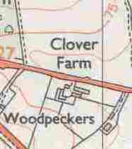
Clover Farm is a recent addition to the landscape, first shown on the 1966 1:2500 scale Ordnance Survey map but not on the 1962 1:10560 map. Clover Farm is at bottom left on the map below, in parcel 8865 with its poultry houses. Tipplefield farm can be seen on the right (east) and Briar Patch above (to the north). Briar Patch is no longer there, but there is old well pumping machinery in the Whelpley Farm field at about that location [upload one of my photographs]. For orientation the Whelpley Farm drive runs up the right hand side of the map.
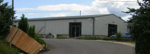
The modern poultry houses at Clover Farm
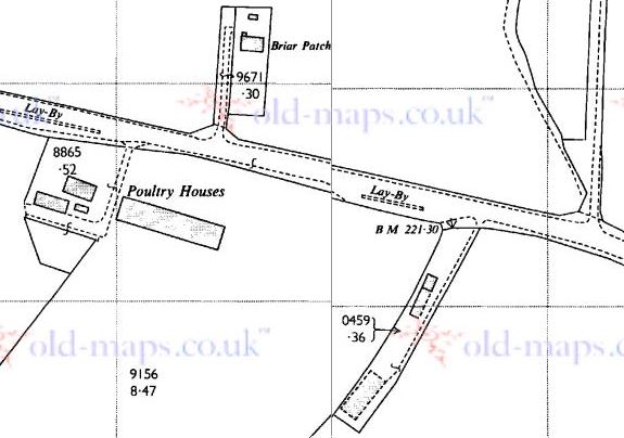
Clover Farm in 1966 to the left (with poultry houses) [Ordnance Survey 1:2500 from old-maps.co.uk]